The plan was to depart Lethbridge around 9:15 a.m. and proceed direct to Cut Bank, Montana to clear customs. We had notified Customs the night before and expected an uneventful flight. *fingers crossed*
We arrvied at the airport in plenty of time, and so had a few minutes to chill -- after answering a couple of questions from the Transport Canada investigators who were looking into yesterday's crash. Here's some of the sights we saw:
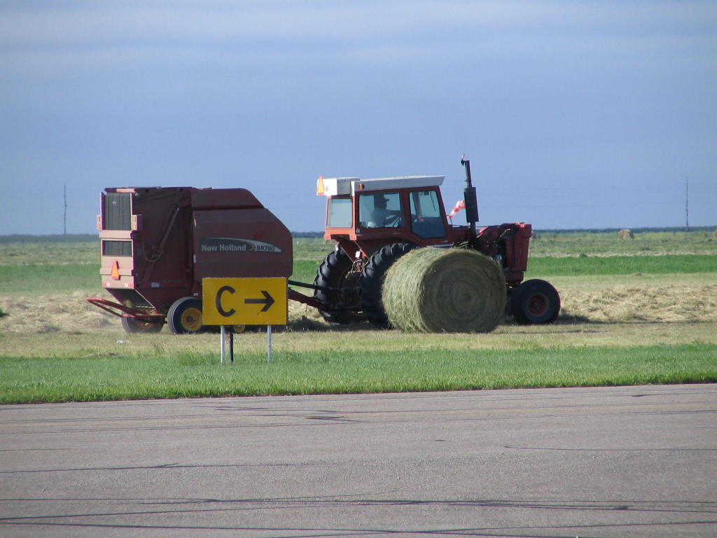

Apparently, there's no problem farming hay on the land next to the airport. Which explains why there's no fence with barbed wire surrounding the airport. There's just a different attitude toward aviation in Canada. It's not seen as a nuisance like in most of the urban areas of the U.S. I suspect that's because in Canada, and Alaska, aviation is a necessity. There's just no other practical way to move people and goods to remote locales.
We had the opportunity briefly to visit with these three lads, who were flying their ultralights to Whitehorse. The IFR Pilot employed the voice of experience to tell them how to fly the route up the Highway. At their pace of about 70 mph, they expect to take about 5 days to get there. I thought the guy with the open cockpit was the bravest of them all; you should have seen how he was bundled up!


(Note the Dadster getting a briefing on the capabilities of the aircraft above.)

After breaking off the chat between Dad and the pilot of the ultralight, we launced for Cut Bank. The engine roared and the IFR Pilot flew her magnificently.
For 10 miles that is.
At which point, the IFR Pilot performed an absolutely flawless 180 degree turn and returned to Lethbridge. The clouds that were "scattered" over the airport had turned to overcast within 10 miles, and they weren't much more than 1000 AGL. Sorry, no go, we're heading back.
So, 15 minutes after taking off, we were back on the ground. I called Customs and advised that we wouldn't be visiting them today. They grumbled a bit, but I again reiterated that in my judgment, flight was not safe and that we weren't coming. Sue me. I could have flown it IFR, but (a) I didn't have the proper charts, (b) I didn't have the proper approach plates, and (c) what moron would take a plane into IFR conditions when we had just had engine roughness the day before? Sure, I think we've determined that there is nothing mechanically wrong with the plane, but how would it have read in the NTSB briefing if something was wrong and I took her into the clouds. No, sorry, that's not going to happen.
It didn't look like things were going to clear too soon, so it was time to develop Plan B. Plan B = go east, where the sky is clear. OK, pick a destination. Regina it is. (It's "RAH-gi-na," not "reh-GI-na." It rhymes with, well, a certain part of the female anatomy. Enough said.)
Regina is about 300 nm east-northeast of Lethbridge. It's not excatly on the direct path back to Ohio, but at least it's more easterly and brings us closer to lots of other options with regard to crossing the border.
So we lauched around 11:00, for what turned out to be a totally uneventful flight. The engine performed perfectly, with the IFR Pilot occasionally administering doses of carb heat to ward off any ice that might have been growing. Conditions during the last half of the flight were similar to those yesterday: OAT around 50 degrees F, with scattered cumulus clouds.
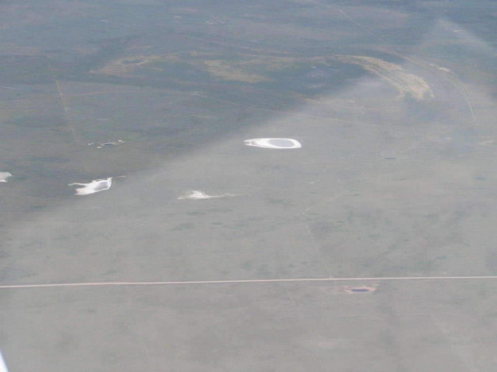
Saw these strange lakes just west of the Alberta-Saskatchewan border:
Here's the GPS view of the border:

Two hours later, we landed at Regina and put 78S to bed for the night. We could have pressed on, but I hadn't figured out the customs situation and there was talk of thunderstorms (which did not materialize). Plus, I was pretty stressed out from the flight. It wasn't difficult in any way, but you know how your mind plays tricks on you after a stressful event.
We almost busted the military airspace at Moose Jaw due to a chart interpretation error on my part. Fortunately, I called Moose Jaw approach up early and after requesting transition through their area, I got vectored around. Apparently, you are supposed to stay north of the Trans-Canada Highway. Who knew?
Does this one really need any explanation?
 The plan for tomorrow is to cross the border at Piney-Pinecreek, then continue on to Aitlin, MN. Then, we're Oshkosh bound! Hope to see you there.
2 comments:
You are awsome. If more pilots would make decisions like you we would not have accidents.
Hi all, I'm the bundled up pilot from lethbridge. It was a pleasure to have visited with you and your father. We did not make it to Whitehorse. As you experienced, the weather last year was not helping anyone. We made it as far as Sikanni Chief about 150 mile north of Dawson Creek.
Post a Comment