Someone recently left the following comment:
Based on your profile, commenting on an incident/accident involving 135 ops on the Y-K Delta is in poor form. If you want to post facts, fine. But why not leave the coulda-shoulda speculation out of it. I have hundreds of hours in the accident a/c and about 100 landings at Tunt, sometimes in very poor visibility or with howling crosswinds. And even with my perspective, I refuse to second-guess the pilot. You weren't there, you don't know the circumstances, and I would suggest you stick to commenting on accidents/incidents involving flying which more closely resembles your knowledge base.
To the anonymous commenter: Perhaps I did say more than normal about this accident, or more specifically, about actions that could have been taken to avoid the accident (with the admitted benefit of hindsight). But I stand by my observation that holding would have prevented this accident and allowed the pilot to land in VFR conditions soon after.
Isn't the entire purpose of reading and analyzing accident reports that we learn from them and consider alternative courses of action should we ever face similar circumstances? It certainly is for me. That's why I read them and write about them, and sometimes opine about alternatives to avoid becoming the subject of an NTSB report. I can't tell you the number of times I've analyzed a situation by saying, "How would the NTSB describe this in an accident report?"
And if I offer only the perspective of a 500-hour instrument-rated private pilot flying most of the time in the Midwest of the United States, fine. That's what I am, and that's the perspective I bring to my flying and my aeronautical decision-making. Anyone is free to choose not to read my blog if they think I'm full of crap.
With that, I offer this week's Accident of the Week:
NTSB Identification: ATL07FA002
14 CFR Part 91: General Aviation
Accident occurred Friday, October 06, 2006 in Stockbridge, GA
Aircraft: Cessna 177, registration: N2320Y
Injuries: 4 Fatal.
This is preliminary information, subject to change, and may contain errors. Any errors in this report will be corrected when the final report has been completed.
On October 6, 2006, at 0945 eastern daylight time, a Cessna 177, N2320Y, registered to and operated by a private owner, as a 14 CFR Part 91 personal flight, collided with a power line during climb out at Berry Hill Airport, Stockbridge, Georgia. The airplane was destroyed by post-impact fire. Visual meteorological conditions prevailed and no flight plan was filed. The private pilot, and three passengers were fatally injured. The flight was originating from the Berry Hill Airport, at the time of the accident.
A witness reported that the pilot conducted a preflight inspection of the airplane prior to his departure. The pilot told the witness that he was planning to fly over to St. Simons Island for a day trip, and returning that evening. The witness reported that the pilot checked his fuel tanks, and reported that he had "over 3/4 tanks full of fuel". After the airplane was boarded the pilot conducted a run-up, and taxied to runway 29. During takeoff roll, the airplane did not get airborne until after approximately 2,000 feet down the runway. The airplane barely cleared a tree at the departure end of the runway, and continued to climb "slowly". As the witness watch the airplane climb at an extreme nose high attitude, stalled, and clipped a tree. Seconds later two explosions were heard, and the witness drove to the accident scene.
Examination of the accident scene by NTSB showed that the airplane was located 509 feet from the departure end of runway 29, and came to rest inverted on the front lawn of a private residence.
Based on the description of the departure point and slow climb rate, one is lead immediately to question whether the aircraft was operating beyond its maximum gross weight. You'll find some comments about operating the Cardinal at high and beyond max gross weight here.Not noted in the preliminary report, but likely to be discussed in the final NTSB report, is that runway 29 at Berry Hill (4A0) is only 3000 feet long. If the airplane didn't reach takeoff speed until it was, according to the eyewitness, 2000 feet down the runway, there isn't much room for error.However, the 3000' foot descriptor may not tell the entire story. Using Google Maps, we can see that there are displaced thresholds at the end of each runway, attributable to trees located in the approach path of both runways and a fence in the approach path of runway 11: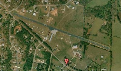 Although the full 3000' feet is available for takeoffs, the existence of the displaced threshold on the opposite runway implies the existence of an obstacle that interferes with the normal approach path. So, if there's something big and tall that messes with your landing to the opposite runway, there's a pretty good chance that the same big and tall object may be in your departure path. Plan accordingly.Also, if you zoom out and examine the area to the west of the departure end of Runway 29, you will find it to be densely populated with residential housing. Not a lot of suitable emergency landing sites if you have an anemic climb rate and then suffer an engine failure (although there's no indication of that in the preliminary report).This accident serves to remind us that we should always perform a full weight and balance calculation, double check our takeoff and landing distance calculations, and assume that the engine will fail shortly after takeoff and therefore have thought through the actions that we will take in the event of such an emergency.
It's been a little too quiet around the IFR Pilot's homefront these days. After returning from officiating in completely horrible weather on Sunday night to an empty home where there was no one to complain to about the conditions at the soccer field, the decision was made that it was time to start sharing the residence.Meet my new co-pilot: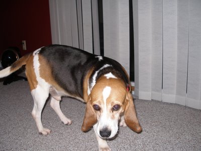
 Capt. Brutus Maximus, formerly in residence at the Animal Protective League.We haven't yet made it to the Home Base, but we will soon. For those in the know, how do I best protect the lad's hearing while in flight?
MS phoned and suggested that we attack the hangar door repair ourselves. So we each collected some tools, and by the time the IFR Pilot arrived at the hangar, MS had already completely disassembled the door.
Through brute strength, and the timely arrival of some other friendly folks at the hangar, we were able to reassemble the door in a couple of hours. Note that 19 foot wide hangar door panels are very, very heavy!
All that remains to be done is to have a professional reinstall the spring-loaded wires that provide tension to the door. Hopefully, we can get a pro out there tomorrow and finish the project, allowing MS to take Mike Hotel on Tuesday.
It appears that I will be buying all $100 hamburgers, omlettes, and chicken wings for the next decade...
Note to self: Next time, raise both doors BEFORE you proceed to raise the center post.
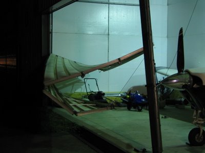
Thankfully, no one was injured in this most unfortunate and completely avoidable mishap, and (equally importantly) Mike Hotel emerged unscathed. The IFR Stupid Pilot's wallet, however, will most certainly be lightened on account of this misfiring of the synapses.
Anyone know a good garage door service in the vicinity of Wadsworth, Ohio that can send someone out on Monday to fix this little problem???
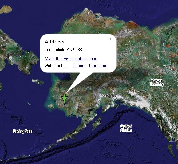
This week's Accident of the Week takes us to the remote Alaskan community of Tuntutuliak (identifier: A61). Here's another free geography lesson from The IFR Pilot: Tuntutuliak is located in southwestern Alaska, not far from Bethel: As you will see in the report, this accident could have been avoided:
NTSB Identification: ANC07LA003
Nonscheduled 14 CFR Part 135: Air Taxi & Commuter
Accident occurred Friday, October 13, 2006 in Tuntutuliak, AK
Aircraft: Cessna 207, registration: N7336U
Injuries: 1 Minor.
This is preliminary information, subject to change, and may contain errors. Any errors in this report will be corrected when the final report has been completed.
On October 13, 2006, about 1512 Alaska daylight time, a wheel-equipped Cessna 207 airplane, N7336U, sustained substantial damage when it collided with the edge of a river embankment during the landing approach at the Tuntutuliak Airport, Tuntutuliak, Alaska. The airplane was being operated as a visual flight rules (VFR) cross-country non-scheduled cargo flight under Title 14, CFR Part 135, when the accident occurred. The airplane was operated by Flight Alaska Inc., d.b.a. Yute Air Alaska, Anchorage, Alaska. The commercial certificated pilot, the sole occupant, received minor injuries. Instrument meteorological conditions prevailed in the area of the accident. VFR company flight following procedures were in effect. The flight originated at the Bethel Airport, Bethel, Alaska, about 1443.
During a telephone conversation with the National Transportation Safety Board (NTSB) investigator-in-charge (IIC), on October 16, the director of operations for the operator reported that he interviewed several witnesses to the accident, and learned that the pilot was attempting to land on runway 20 at Tuntutuliak. The gravel surface runway is 1,772 long and 28 feet wide. The approach end of the runway is located at the edge of a river. The director of operations said the weather conditions in the area had been good VFR, but as the pilot was attempting to land, rain and mist moved over the area, reducing the visibility to about 1/4 mile. The airplane collided with the river embankment as the pilot was on his fourth landing attempt. The airplane received structural damage to the landing gear, fuselage and wings, and came to rest about 40 degrees to the left of the runway. The director of operations indicated that within 30 minutes of the accident, the weather conditions were once again VFR
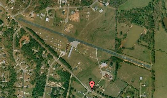
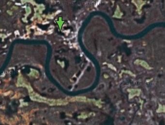
By simply holding over the airport for 30 minutes, this pilot could have landed in VFR conditions instead of 1/4 mile visibility on his/her fourth attempt. Perhaps fuel was a concern, although the airplane had only been airborne for about 29 minutes at the time of the accident. (Bethel, the departure airport, is 36 miles northeast of Tuntutuliak.)The pilot faced the additional challenge of a runway that is literally squeezed in between river banks. Here's the USGS topographic map showing the runway location: Unfortunately, the Google Maps image of that location doesn't show much detail, but it gives you an idea:
 There are numerous safety articles out there that caution against repeated approaches to the same airport. In other parts of Alaska, diverting to another airport might not be a realistic option. Here, the departure airport was only 36 miles away. Airnav.com reports that there are 4 other airports within about 50 NM. Why try to force a square peg into a round hole? Either hold, or divert. This is one of those needless accidents.
August 17, 2004
Westerly, RI to Cleveland, OH
451nmTime to head home. There's a bit of cloud cover in Connecticut, but beyond that it looks like smooth flying all the way to Ohio. I file direct and hope for the best. It's not to be. When I call for my clearance, I head the dreaded "78S I've got a full routing here for you, advise when ready to copy." Drum roll, please. Here it is in all its glory: "Radar vectors, direct Bradley, Victor 292, GAGES, Victor 408, Lake Henry, Phillipsburg, Victor 30, Akron, direct Skypark." Wow. Turns out, it's a relatively simple path that steers me north of the New York Class Bravo, then pretty much direct across Pennsylvania to Ohio. Having determined this, I'm ready for takeoff. When I arrived at the airport, the cloud cover was scattered at best. In the intervening hour, it's become a solid overcast, despite the ATIS report of broken at 6000. Well, in for a dime, in for a dollar. That's why I got the rating, after all. I take off and within about 700 AGL, I'm in the midst of it and having to make a 90° turn to the right. I'm really scanning hard now, and consciously reminding myself to forget anything I might be feeling in the seat of my pants. Read, cross-check, interpret, and adjust if necessary. After a couple of minutes - that seem like an eternity - I break out on top, headed northeast to Bradley. Personally, I find that flying over a solid undercast is exceptionally nerve-wracking, and this time is no different. I'm constantly scanning the Low-Enroute Chart, Sectional, and Approach Plates to keep apprised of terrain and nearby airports where I can head if there's a problem. Also, the NRST function of the Garmin 430 helps. Thankfully, the undercast dissipates just west of Bradley and it looks pretty good for the next couple hundred miles. Scranton's reporting a 100 foot ceiling, but I can clearly see it from 6000 feet, so I suspect something is awry with the ATIS. I had planned to fly this trip non-stop, but my kidneys and bladder have decided not to cooperate. West of Williamsport, I finally determine I can't make it all the way home without stopping and decide to get a diversion. Frankly, though, I'd rather not tell everyone on the frequency that I have to go potty. I ponder this for a bit, and come up with my line: "New York Center, 78S with a request." "78S, New York Center, go ahead." "78S is going to need a diversion, looks like DuBois will work." "78S, is there a problem? "Negative, we just need to attend to, uh, environmental needs." ATC chuckles, and gives me the desired vector to DuBois. I land and literally race from the ramp to the men's room. After that, it's a quick call to Altoona Flight Service to file direct to Skypark. The airspace over Western Pennsylvania and Eastern Ohio proves is a little bumpy, so I choose lower - it doesn't help. I remembered - too late - an article I'd read about going higher for calmer air. As I transit the Youngstown TRSA, I'm in and out of the clouds. Then, we get a student pilot with his CFI, and they've got a stuck mike. It's not the first time that I've heard such a thing, and everyone on frequency gets treated to a narrative about the attitude indicator, pattern flying, the CFI's daughter's house, and what he had for dinner last night. I'm amused, but also concerned, because there's no way ATC can get a word in edgewise. I go back to Cleveland Center and inquire about an alternate frequency for Youngstown. They give it to me and I switch over. Eventually, the student and CFI get the problem worked out and everyone has a bit of a laugh about it. Shortly thereafter, I'm within sight of Skypark and cancel IFR. I join the traffic, make a nice downwind to base, short final and I'm on the ground. It's taken five hours, not including the layover in DuBois, but I'm home in one piece and looking forward to sleeping in my own bed for the first time in over a week. It was a great trip despite Mother Nature's best efforts to ruin it for me and my Dad. I logged 13.8 hours total time, including 2.5 hours of actual instrument flight. But best of all, I got to spend some quality time with my Dad and the rest of my family.
August 15, 2004
Westerly, RIOriginally, I planned to head home today. But it's my aunt's 70th birthday, and plans are afoot for a surprise party. I opt to exercise the privileges of GA and amend my agenda to stay over another day.Turned out to be a great choice. We had a wonderful party, and my aunt seemed genuinely surprised that her Ohio-resident nephew could make it to her party!August 16, 2004
Westerly, RI (again)When will it stop? I wake up and am greeted with even more crummy weather. Showers, low clouds, clag everywhere. Looks like it might clear up about the time that I reach Eastern Pennsylvania. But that's probably an hour and a half or more of solid IFR. And, I'd have to fuel the airplane in the rain.Forecasts are calling for clear weather tomorrow. It's a no-brainer to delay my return another day. Dad and I spend the day browsing local antique shops. He finds a few treasures. I'm looking for anything aviation-related, but come up empty handed.
August 14, 2004
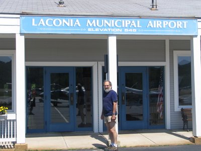
Westerly, RI to Laconia, NH
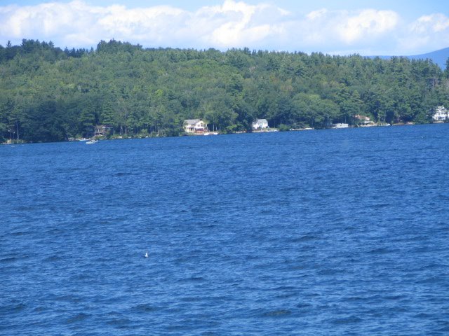
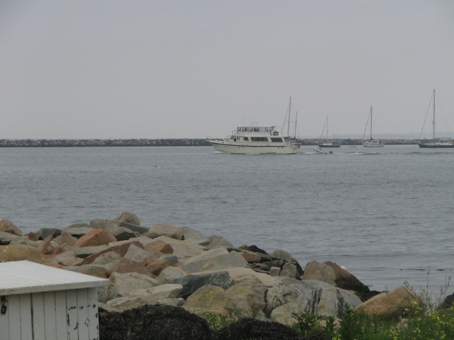
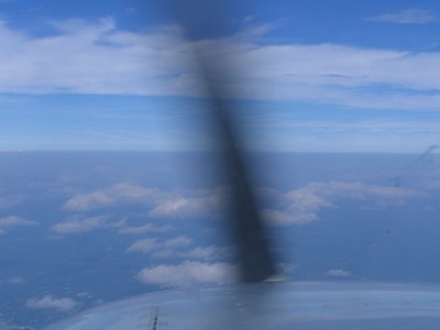
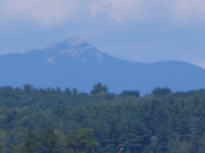
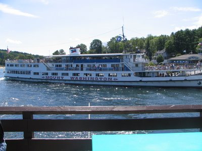
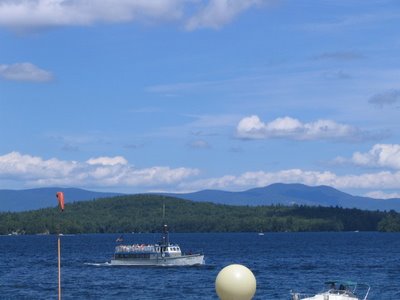
135nmAaah, CAVU. Are there any more heart-warming acronyms in the GA glossary? Ceiling and visibility unlimited. After two days stuck on the ground, we're off to do some flying.As part of my pre-vacation flight planning, I posted a message to rec.aviation.piloting, asking for recommended airports to visit in New England. One of the responses suggested Laconia, New Hampshire, on the shores of Lake Winnipesaukee.If you're not familiar with the Lake - and I wasn't until I read that response - it's an incredible natural wonder. Comprising more than 72 square miles of surface area, the Lake has 182 miles of shoreline and significantly more than 200 islands.The weather's just perfect, but I file IFR anyway. I figure the practice will be good, especially as I negotiate through the Boston Class Bravo airspace. Providence Approach clears me to Laconia on a route that's pretty much direct.We pass just west of Boston Logan Airport, and it's truly a gorgeous sight. We're up at 8,000 feet and the perspective is just awesome. Soon thereafter, we cross directly over the top of Manchester, New Hampshire. After an all-too short flight, we're cleared for the VFR arrival into Laconia. Because of the terrain - Laconia has some high terrain to the west (at least "high" for someone whose based in a pretty flat part of the country!) - I enter on an upwind for Runway 26, fly a normal approach, and land on the 5,286-foot Runway 26. I think this was over Manchester, New Hampshire
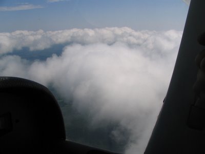
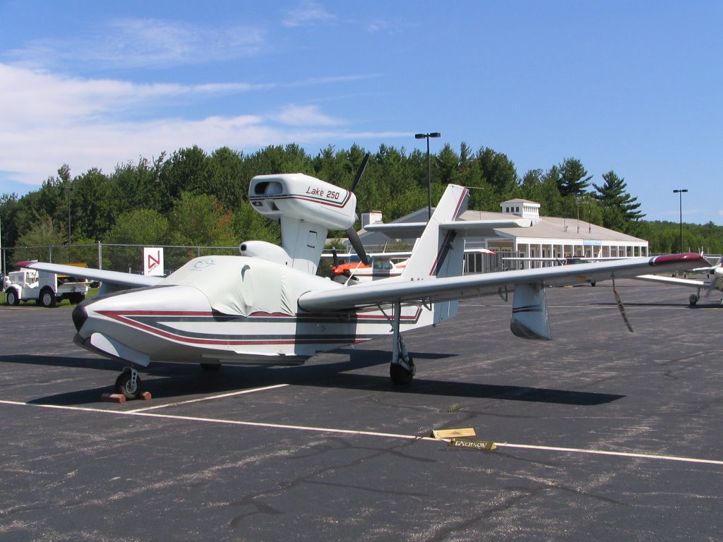
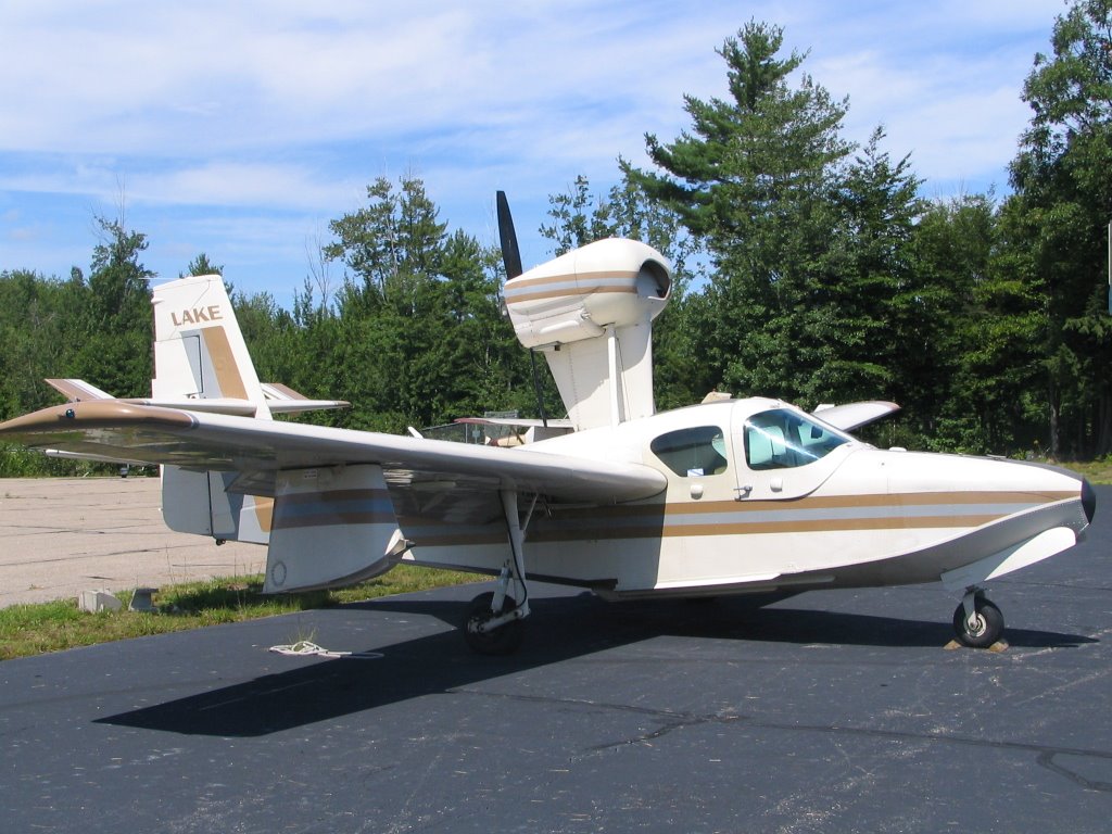
 Whereas Nantucket's ramp was dominated by biz jets, a few of which can be seen here too, here it's mostly light piston aircraft on the ramp. We don't fail to notice two different Lake amphibs, obviously a useful aircraft to have in this land of lakes.

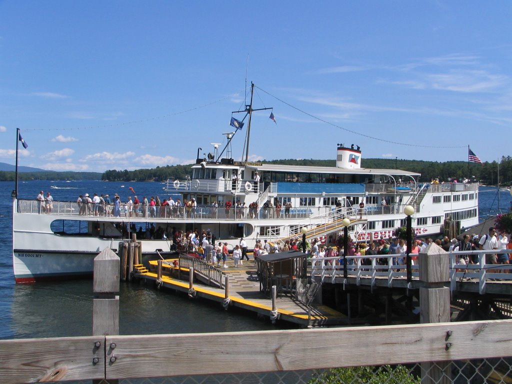
 Laconia has two different FBO's - Emerson Aviation and Sky Bright, Inc. We didn't need any fuel, having filled the tanks in Westerly, though I noted that the prices are roughly comparable, which you'd expect when there's on-field competition. Both were charging nearly $3 a gallon - substantially more than the $2.20 we pay at my home base.We grab a cab and head down to Weirs Beach for a bite to eat. There's a beautiful pier on the lake, with a restaurant, arcade and the obligatory T-shirt shop. The Lake naturally draws its fair share of boaters, and you can rent a boat or jet ski if the spirit so moves you.
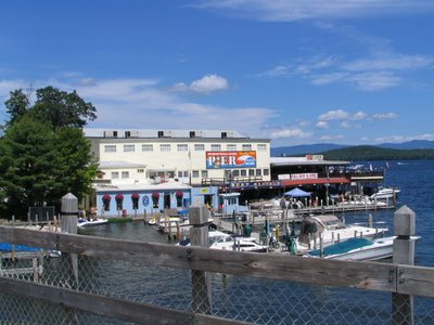
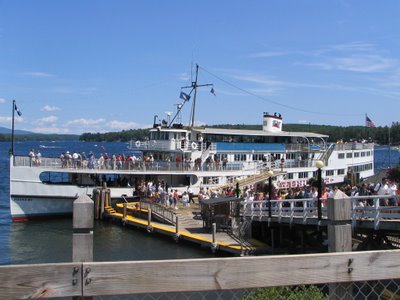
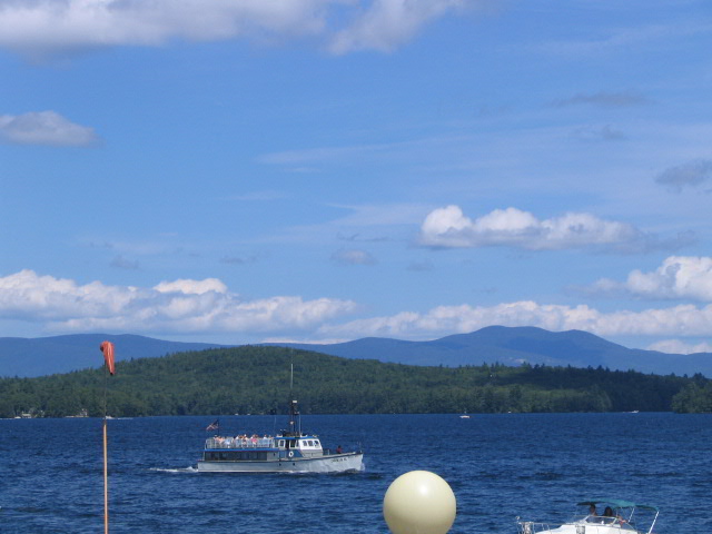
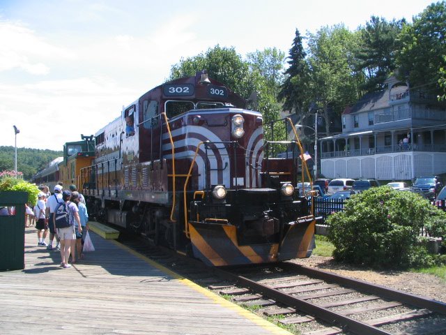
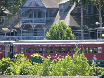
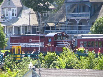
 After lunch, we opt for the hour-long train ride aboard the Winnipesaukee & Pemigewasset Valley Railroad. We get beautiful views of the lakeshore and the homes (and campsites) that dot it. Truly, a magnificent way to see this natural wonder.
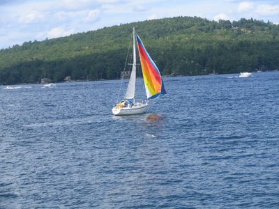
 Eventually, we head back to the airport. Again, I file IFR for Westerly, as some cloud cover has moved in and visibilities are decreasing. There's a slight risk of thunderstorms beginning after 5pm. That's just about the time we'll be nearing Westerly, so I'm anxious to take off on time and get home.I'm unable to get my clearance on the ground, so I opt for getting it after takeoff. We have to hold short for landing traffic - a 172 on floats. It always amazes me that even with all that stuff hanging down below the fuselage, an aircraft will still fly and look graceful doing so. When it comes time for that BFR next year, I might just have to go get myself a seaplane rating!Part of my clearance back to Westerly puzzles me. It goes something like this: "Present position, direct Gardner, Victor 14, Norwich, Trumbull, direct Westerly." I read it back and then go about punching everything into the 430. Once again, though, I can't find part of the route: "Trumbull." I leave it for now, and we enjoy a nice flight through New Hampshire and Massachusetts.Finally, when I get switched to Bradley approach, I inquire about the whereabouts of "Trumbull." That's when a hear the strangest response: "There's no such fix, you got a faulty clearance. Be advised your route is Norwich, Groton, direct Westerly." Hmm, what's that all about? Then it hits me. Although the identified for Groton airport is KGON, the identifier for the Groton VOR is TMU (named for nearby the nearby town of Trumbull). In the long run, though, it's all for naught, because as soon as Bradley switches me over to Providence approach, I ask for and receive direct to Westerly. ATIS is reporting VFR conditions, so I get the visual and we land without incident. Just an awesome, awesome day!More sights for your viewing pleasure:
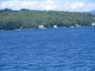
August 13, 2004
Westerly, RI to New London, CT
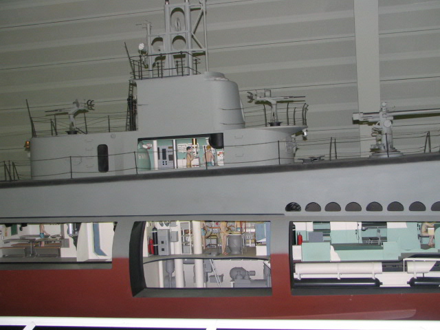
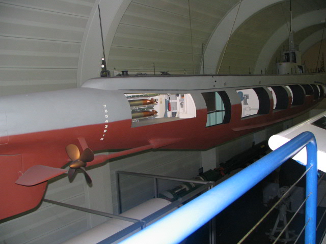
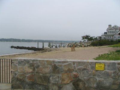
18 sm - by carRats! Foiled yet again! Mother Nature has single-handedly decided to turn my flying adventure into a vacation without flying. This time, it's the remnants of Hurricane Charley pushing up the Atlantic Seaboard. From the moment I fire up the laptop to check the charts, it's clear that we're destined for another day ground-bound.We decide to stay close to home today for a little local sightseeing. Dad spent a few years in the Navy and eventually retired from one of their civil contractors.Today we head off to see the USS Nautilus. She's the US's first nuclear-powered submarine. The Nautilus is docked at the Submarine Force Library and Museum, adjacent to the New London Submarine Base. Located on the Westerly River, it's just across from the Coast Guard Academy.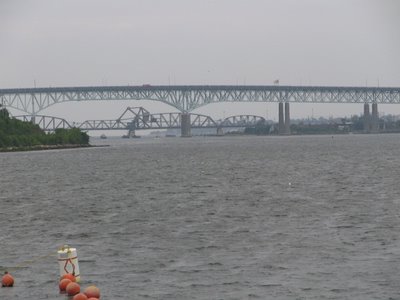 Built between 1952 and 1954, the Nautilus was the first ship ever to cross the North Pole, on August 3, 1958. Nautilus remained in service until 1980. In 1985, she arrived in Groton and went on display to the public the following year, where she remains to this day the world's only nuclear-powered sub on public display. Best of all, Nautilus and her accompanying museum are cost nothing to visit.
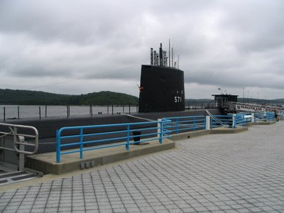
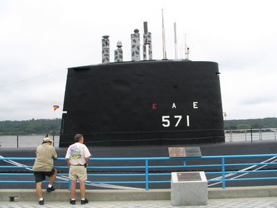
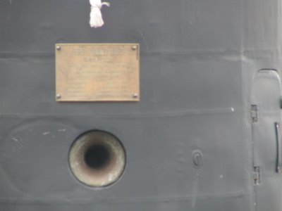 Now, if you ever thought that the cockpit of a GA aircraft is cramped, then you've never been aboard a submarine. There isn't a single square inch of space that isn't put to productive use on one of these babies. Must have been quite cozy to climb into the top bunk of a rack of four, and be nestled up against one of the forward torpedos.
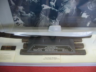

 Supplemental pictures for your viewing pleasure:
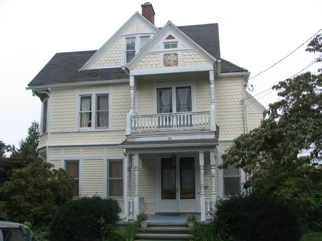
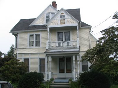
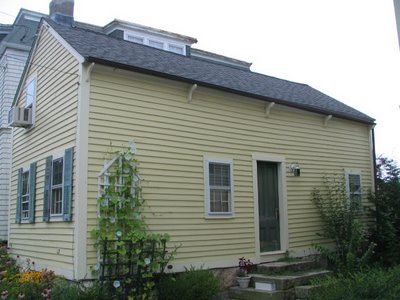
Grampa's house:
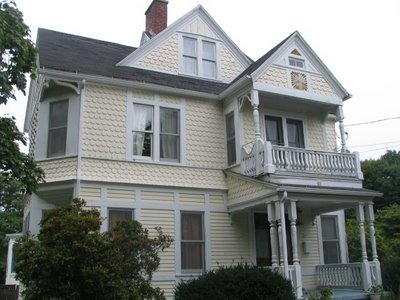
 Dad's house when he was a kid:
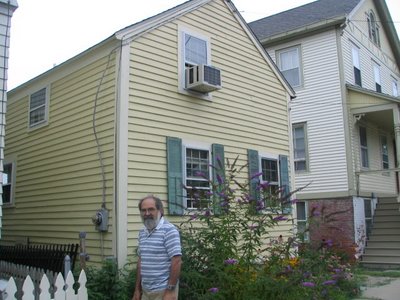
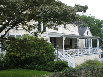
 Dad's school when he was a kid (now condos...):
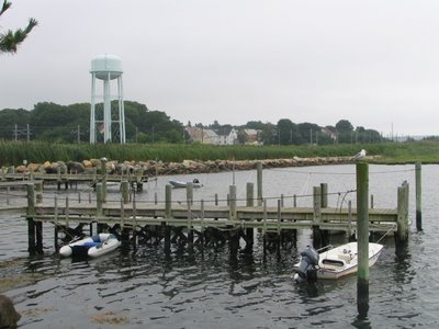
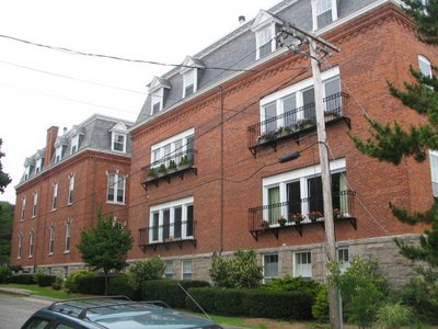 Sights from around the hometown:
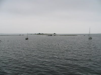


August 12, 2004
Westerly, RI to Hartford CT, and back
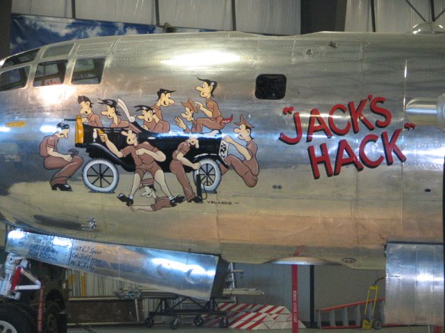
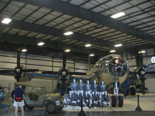
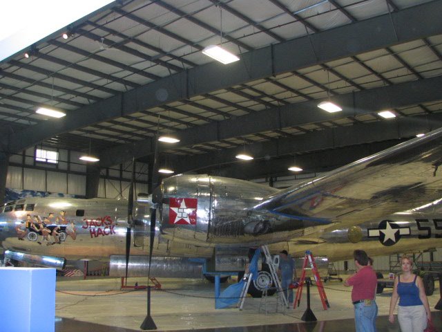
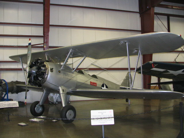
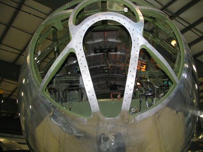
134 sm -- by carMother Nature rears her ugly head again this morning. Another line of thunderstorms is stationed across a line from Poughkeepsie, NY, through northwestern Connecticut and Massachusetts into New Hampshire. There's another line moving east out of northwestern Maine. Basically, we're trapped. We can't get anywhere, at least not with any confidence that we'll be able to get back tonight. And I for one don't relish the prospect of camping through a thunderstorm. Reluctantly, we scrub today's flight in the name of safety.In keeping with the aviation them of this vacation, however, Dad suggests we drive up to Bradley International Airport in Windsor Locks, CT, to visit the New England Aviation Museum (NEAM). So, we pile into the trusty Ford Escort wagon and head out.For the price of a couple of gallons of Avgas, you certainly get your money's worth. NEAM has dozens of priceless aircraft on display - including a fully restored B-29, named "Jack's Hack." The aircraft is so massive that it is housed in a building unto itself, with the vertical stabilizer seemingly ready to punch a hole in the roof.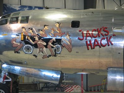


 Crammed into several other buildings are all kinds of flying machines, from military fighters and bombers to helicopters, civilian transports, ultralights, homebuilts, and more. There's a fascinating exhibit on the Aviation Volunteer Guard, otherwise known as the "Flying Tigers" of World War II. There's also a treasure trove of engines and other aircraft accessories. One of my favorites was a prototype "zero-gravity toilet" intended for use aboard the International Space Station.
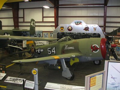

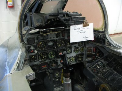
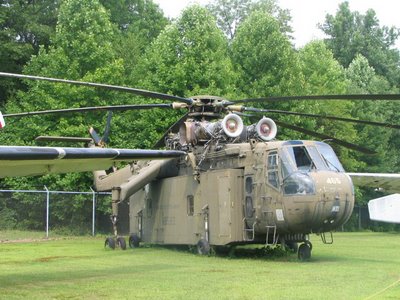
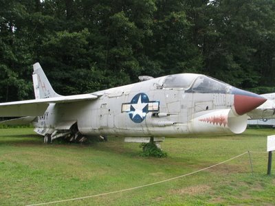
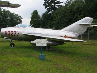
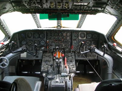
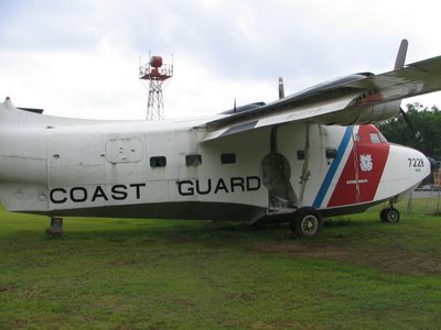
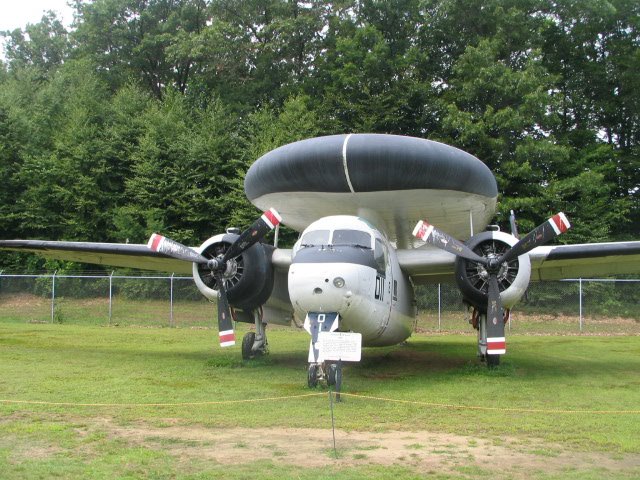
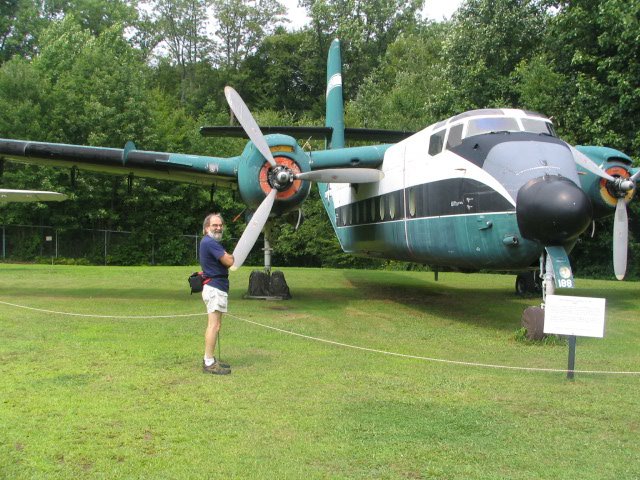
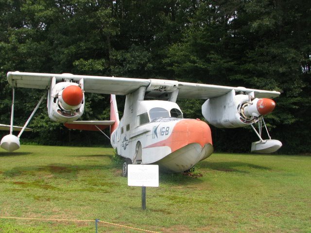
Parked outside the buildings are about a dozen or so vintage aircraft, most of them military in nature. Among the standouts are a Grumman Albatross flown by the Coast Guard, a MiG fighter, a Skycrane helicopter, and a Grumman E-1B, an early form of AWACS aircraft. One of my favorites was a Sud Caravelle VI-R sporting an Airborne Express livery that you can enter and explore. That cockpit has so many more switches and dials than my 172. I can see why flight crews used to include a Flight Engineer!