U.S. VFR Sectionals for Anchorage, Dawson and Fairbanks. (Seward to arrive later).
U.S. Terminal Area Chart for Fairbanks.
U.S. Alaska Flight Supplement.
Canadian Sectionals for Atlin, Calgary, Edmonton, Fort Nelson, Fort Simpson, Kitimat, Klondike, Prince George, Vancouver, and Whitehorse.
It was quite a pile of stuff, as you can see for yourself:

About the only significant chart that wasn't included is the Alaska Highway sectional. Plus the other sectionals that I'll need to get from here to Lethbridge, where we'll make the border crossing.
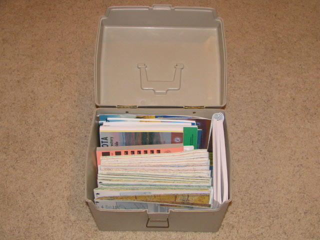
When you combine it with the WACs and other materials that I've been assembling, you can clearly see that we're talking about a lot of paper to drag along:

Fortunately, I've found a nice little box into which everything fits pretty neatly.
I think I may omit all of the state charts in favor of the sectionals. But, I can't decide whether to drag along all of the state airport directories, or just rely on the AOPA Directory. I'll probably drop them also, in favor of the "official" Airport Facility Directories.
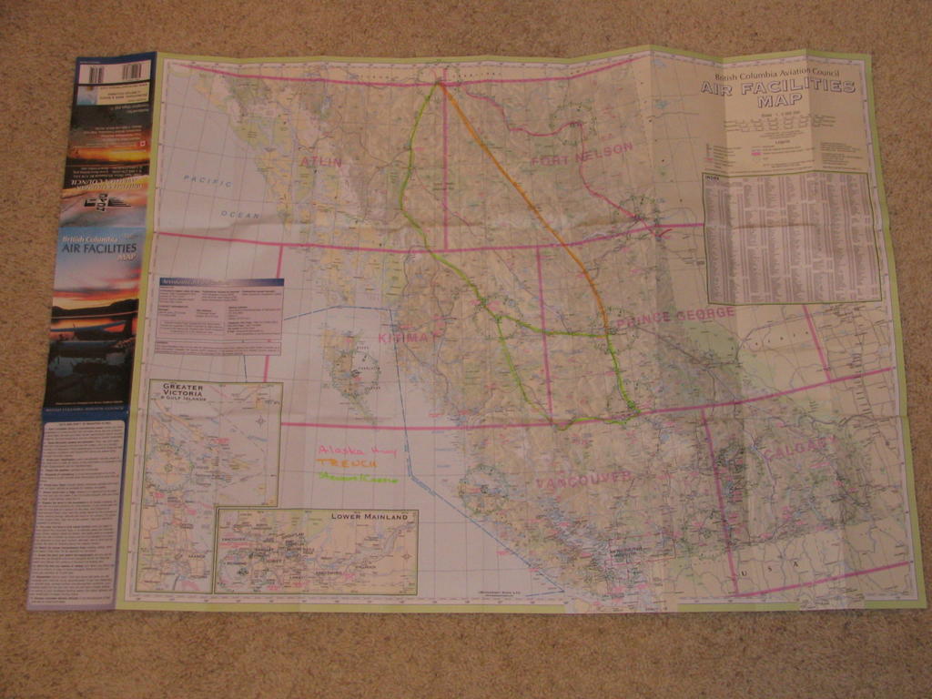
One of the most useful charts that FlyNorth.com included was the British Columbia Aviation Council Air Facilities Map, onto which Diana at FlyNorth has marked out the three most popular routes to/from Alaska: The Alaska Highway, The Trench, and The Stewart/Cassair Highway. Click below for a large-size, super-fine photo of same:
 I guess it's about time to actually start doing some flight planning. We're departing in less than 2 weeks!!!
No comments:
Post a Comment